Hurricane Isaias: the post-event peak-gust footprint
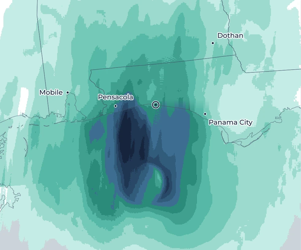
Our reconstruction of the peak 3-second gusts on a 1 km grid, for the landfall near Destin on 9 October 2026. The dashboard and GeoTIFF downloads are free under CC BY 4.0, including for commercial use, with credit to Downstream.
Landfall
Peak 3-second gust, mph · 1 km grid
406080100120140+
A research product, provided as is, without warranty. How we built it →
Get the link
Register and we’ll email you a link to the dashboard and the downloads.
Check your inbox
We’ve sent the link to . If it isn’t there in a few minutes, check your spam folder.

 Landfall